
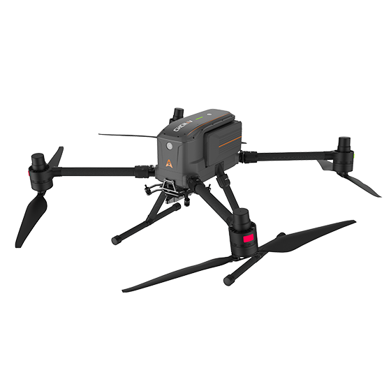
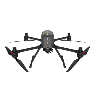
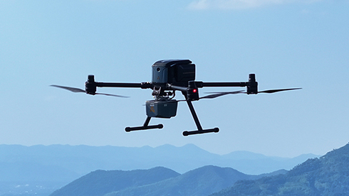
CHCNAV X500 sUAS Drone
Item # 8005010159Flexible Payloads. Longer Flights. Efficient Fieldwork.
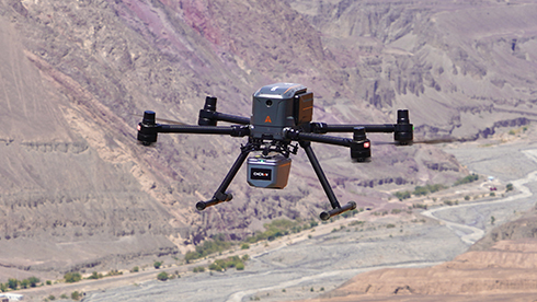
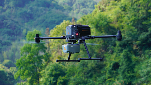
The CHCNAV X500 is a professional quadcopter built for surveying, mapping, inspection, and emergency response. Combining a payload capacity of up to 5 kg with high-precision positioning and advanced flight controls, it provides a stable platform for demanding data collection missions.
Compatible with CHCNAV sensors and third-party payloads, the X500 gives crews the flexibility to configure their aircraft for the job.
Key Features
- Extended flight time: Fly for up to 58 minutes, or up to 50 minutes with the CHCNAV AA10 LiDAR.
- Flexible payload capacity: Carry sensors and equipment weighing up to 5 kg.
- Intelligent flight support: Visual SLAM (vSLAM) and obstacle detection help support navigation and safer operation.
- Hot-swappable batteries: Change batteries without powering down the aircraft to streamline turnaround between flights.
- Field charging support: An intelligent battery charging station doubles as a power bank.
- Portable design: Easy to transport and designed for single-person operation.
- Built for field conditions: IP55 protection and wind resistance up to 12 m/s support operation in challenging environments.
Applications
- Surveying and mapping
- Infrastructure and asset inspections
- Urban monitoring
- Emergency reconnaissance
- Disaster assessment and relief support
Specifications
- Aircraft type: Quadcopter
- Maximum payload: 5 kg
- Maximum flight time: Up to 58 minutes
- Flight time with CHCNAV AA10 LiDAR: Up to 50 minutes
- Battery system: Dual hot-swappable batteries with charging station
- Protection rating: IP55
- Wind resistance: Up to 12 m/s
- Onboard sensors: Camera, IMU, obstacle detection, and vSLAM
- Flight control software: CHCNAV SmartGo
Flight time varies with payload, operating conditions, and flight configuration.