

IF800 Drone
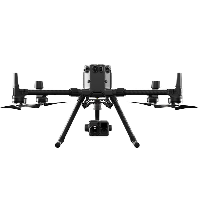
Item # IF800The IF800 is a professional-grade UAV engineered for precision, reliability, and efficiency in aerial data collection. Designed with extended flight endurance and heavy-lift capability, the IF800 is ideal for mapping, surveying, inspection, and environmental monitoring projects. Its robust frame and advanced flight controls ensure stability in challenging conditions, while its modular payload options allow you to capture high-resolution imagery, LiDAR, or multispectral data with ease.
With intelligent mission planning and seamless integration into leading GIS and survey workflows, the IF800 helps field teams cover more ground in less time while maintaining survey-grade accuracy. Rugged, dependable, and built for demanding applications, the IF800 gives professionals the confidence to deliver fast, accurate results from the air.